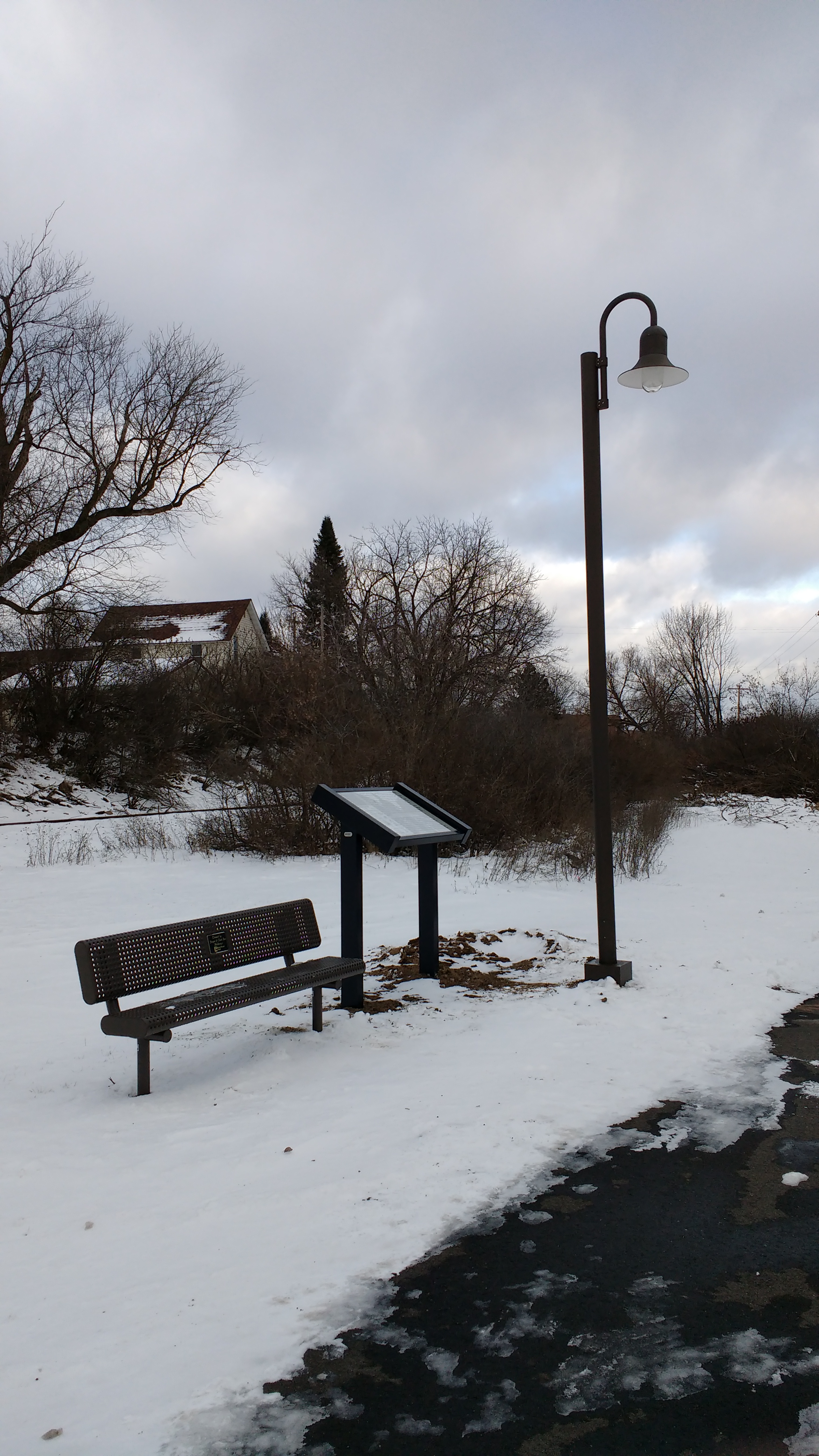
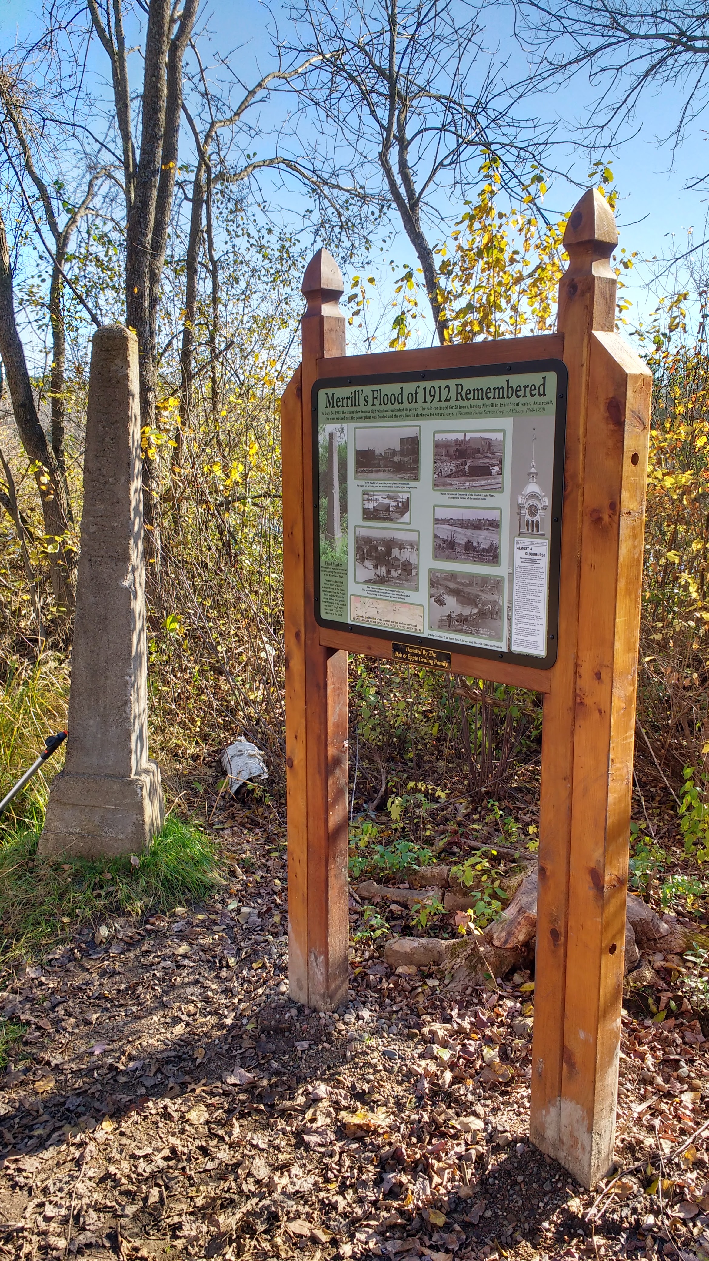
Below is information and photos of the Historical Markers you will find on the River Bend Trail. These are the first of many markers yet to be developed.
History of Stange Legacy
First Cemetery
History of Hobos
The term “hobo” refers to men, especially during the depression, who were homeless and without work. Their old jobs and past lives had disappeared due to the deepest economic downturn in history. Hobos were not tramps who only worked when absolutely necessary or bums who avoided work. Hobos traveled to find work and usually traveled free by hopping freight trains. This practice wasn’t approved of by the railroads and it was dangerous, but was often overlooked on humanitarian grounds. Most towns of any size had a hobo jungle – a place where men gathered to eat, sleep, find the lay of the land, etc. There was usually a warm campfire and a pot of stew cooking. Merrill, of course, had a railroad and was probably a decent destination for hobos in days past because of the large number of industries offering jobs to laborers.
It is said Merrill’s hobo jungle was located just to the west of the Nicklaus Family Bridge between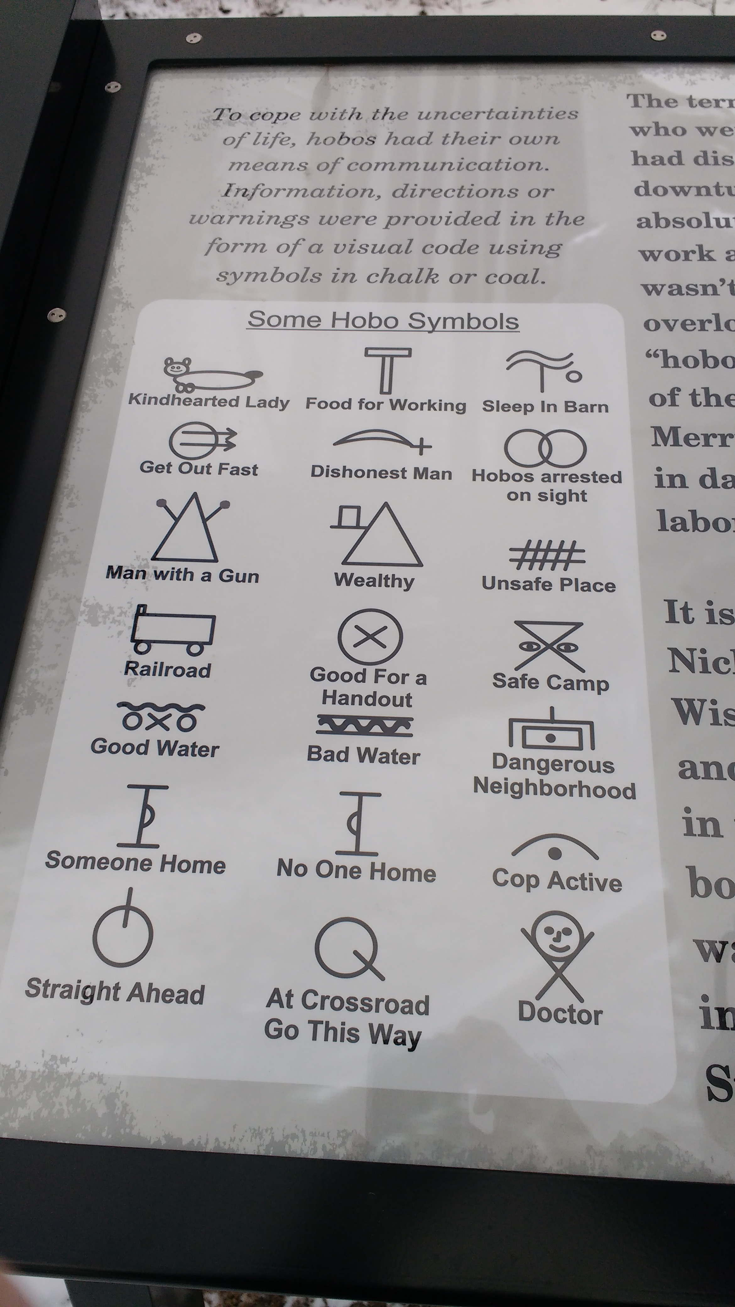 the tracks and the banks of the Wisconsin River. The camps were usually situated near the railroad and near their water tanks. When trains stopped to replenish water in the tenders of the steam locomotives hobos had a safer way to board than hopping a moving train. The water tanks also provided water for drinking, cooking and occasional cleaning. The water tank in Merrill was located just below the hill at the west end of East Main St. This tank served the main railroad line which curved north to the depot through town and beyond. It also served the West Side line, functioning both as the industrial lead to the west and the 6th Ward and as the New Wood branch line.
To cope with the uncertainties of life hobos had their own means of communication in the form of a visual code using symbols in chalk or coal providing information, direction or warning.
The High Water Monument
By Bob Gruling
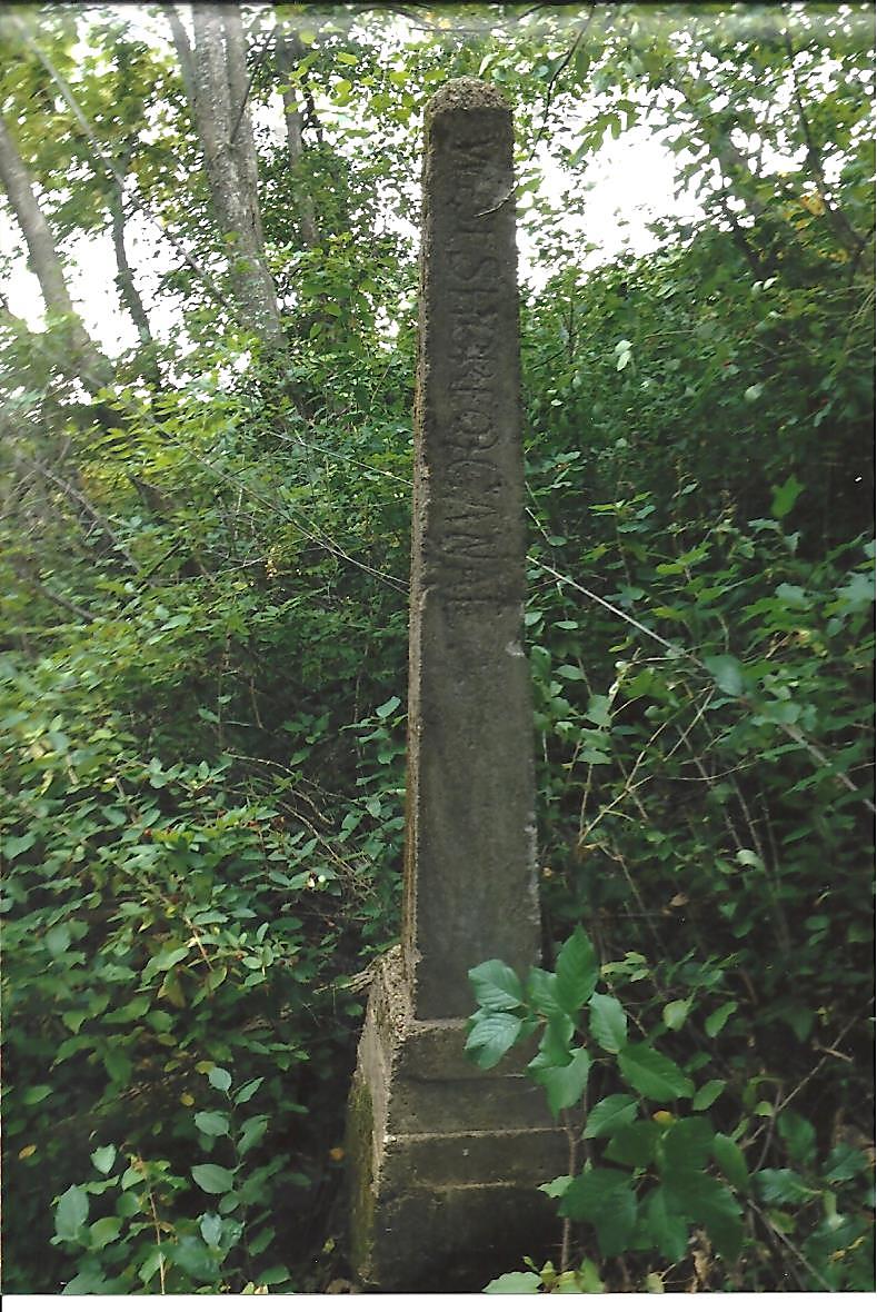
During the construction of the River Bend Trail, a monument was found on the north bank of the Wisconsin River, west of the former canal which once connected the Prairie and the Wisconsin Rivers.
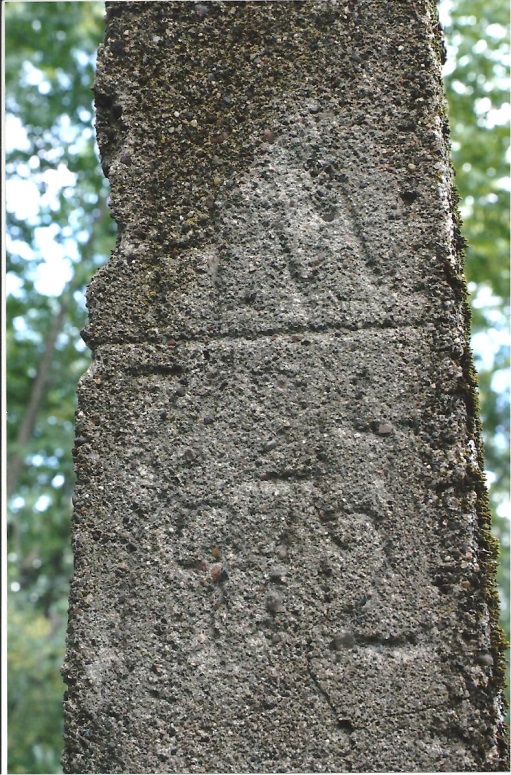
Because of the information inscribed on the back and front sides of the monument, it appears the marker was constructed and placed at the above location sometime after July 24, 1912 when heavy rains caused severe flooding in Merrill. The inscriptions list the date of the flood and the high water level at the time.
The monument is situated on the “wood chip” trail which is located south of the main trail east of Weinbrenner’s Shoe Store.
A Portion of a 1914 Map of Merrill
X Marks the location of the present High Water Monument & former canal
Information about the flood, including damages, was found in an article in the “The Merrill Star Advocate.” However, information as to when the monument was constructed and placed at its present location is not as yet available.
Photos of the High Water Monument
“WEST SIDE OF CANAL”
Front Side Inscription
“H W“ (High Water)
Horizontal Line (Indicates Height of Water)
“7 / 24”
“1912” (Date of Flood)
Back Side Inscriptions
